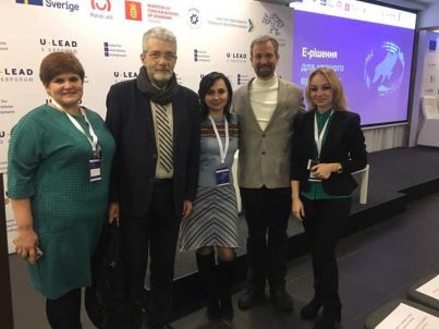
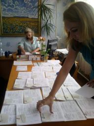
 Student of 31 ГЗ group of dual form of study Tetiana Lebed represented Orikhiv United territorial community in the project geoinformation systems «Е – community solutions», implemented by the Center for Innovation Development – Center for Innovations Development with the support of the program ULEAD with Europe/ULEAD with Europe.
At the first stage, 300 communities participated in the project, as a result of evaluating the skills of community representatives (professionals), the strongest were gradually selected. In the end, Orikhiv United territorial community became one of the 50 strongest communities.
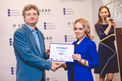
02 December 2019 was determined the winner – Orikhiv United territorial community.
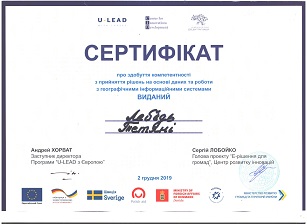
Tetiana Lebed has obtained a certificate of competence in decision-making based on data and work with geographical information systems, and United territorial community – distinguished leader for implementing innovation in data management and ability to free use now geoinformation systems for the development of their community.
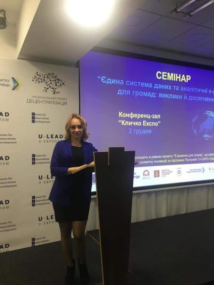
For the prospect of further development and attraction of investors in the community, it is planned to develop the territory of the community using modern geoinformation systems (GIS). Source of investment – community assets (land, real estate). However, to attract a wide range of investors, you need to properly represent your territory.
This is where modern ones come in handy GIS, that allow you to discover natural, social and economic opportunities in the community. To do this, a mapping web application is created to represent the investment sites that allows:
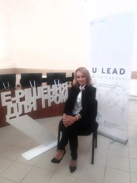
- to represent your territory on a series of analytical maps;
- using thematic geospatial layers to comprehensively uncover features;
- share geospatial data with potential investors.
A significant step is planned to move from making intuitive decisions to shaping them based on digital data analysis.
by materials: M.M. Hanchuk, curator of dual training 31 ГЗ,
Tetiana Lebed, student 31 ГЗ group